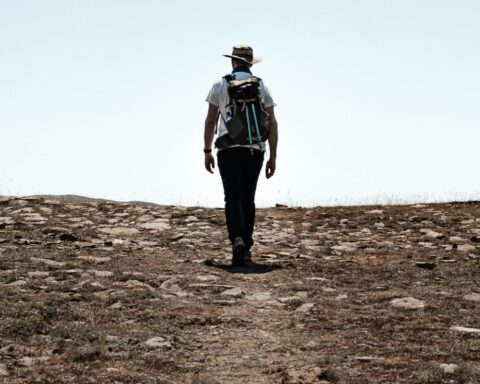
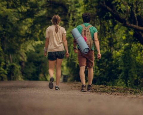
Hiking is a great way to de-stress from our hectic lives and connect with nature. San Clemente is one of the best places to go hiking, as it marries the city with nature and has a variety of trails for all skill levels.
Located along the Southern California Coast in Orange County, San Clemente is known as the Spanish Village by the Sea.
This is due to its stunning architecture reminiscent of Spain, but San Clemente is also known for white, sandy beaches, great weather, coastal views, its vibrant downtown area and rich history.
Each trail is unique in its terrain, poses different challenges, and has beautiful, breathtaking views.
They can also be accommodated to every level, because while we all love a challenge, going on a hike where you’ve bitten off more than you can chew leads to a stressful day rather than a fun, relaxing one.
If you’re looking for a relaxing walk by the beach, then you can’t beat the San Clemente Beach Trail at sunset.
But if you want more of a workout, then we recommend the stair repeats along the Sea Summit Trails or the up-hill trail of the South Cristianitos Trail. Just get your hiking boots on, rope in your friends or your dog, and get going!
Read next 🐶 – Best Hiking Dogs
Cristianitos North and South Trails
- Length: 0.7 miles / 2.8 miles
- Difficulty: Moderate
If you want to explore the California wilderness, then this hike is for you! The Cristianitos Trail system is on the outskirts of San Clemente, Camp Pendleton, and the Mission Viejo Conservatory.
Depending on where you approach the trail it can be a serious hike, either all uphill or downhill. You can only enter the Cristianitos trail from the top or the bottom.
Most people approach it from the bottom, entering the trailhead at the end of Avenida Pico, but you can enter from the north at the end of Avenida Talega.
The northern Cristianitos Trail is home to the San Clemente Summit, with an elevation of 1,008 feet, it is the highest point in the city.
You can also reach the Talega Trails from the North Cristianitos trail that can be difficult to access from the streets if you’re not familiar with the area.
Forster Ridgeline Trail
- Length: 4.2 miles
- Difficulty: Moderate to difficult
With amazing views of San Clemente, the Forster Ridgeline Trail follows the mountain ridges but can get difficult due to the rugged path and occasional steep inclines. However, the wide open terrain does provide good visibility.
However, the Forster Ridgeline Trail isn’t the easiest trail to get to, and there are no designated parking areas with access to a trail head.
For this reason, most people approach the trail from Costero Risco, just off from Camino Vera Cruz.
There is usually a low amount of traffic on that road, allowing you to park on the roadside near the trailhead. At the end of Camino del Rio along Vista Hermosa, there are also trail access points.
Prima Deshecha North and South
- Length: 1.8 miles / 3.1 miles
- Difficulty: Moderate
This trail is part of an on-going project aiming to create a connection between the San Onofre State Park trail system and the San Juan Capistrano trail systems though San Clemente.
You can pick up the trails at a couple of places, such as the Avenida Pico (near the sports park on Vista Hermosa), and at the corner Saluda and La Pata.
You can park your car at the end of La Pata near the Baron von Willard Dog Park, and then hop on an extension on the San Onofre State Park trail system, taking the left-most path toward the golf course.
You should see signs for Prima Deshecha in less than a mile.
Rancho San Clemente Trail
- Length: 3.5 miles
- Difficulty: Moderate to Difficult
Winding through the hills with breathtaking coastal views that span all the way to Dana Point, the Rancho San Clemente Trail is sometimes called the Water Tower Hike, and the path paved much of the way makes it ideal for joggers and bikers.
Reaching the trail entrance at the top of Avenida Salvador can be a bit difficult, but if you find yourself going downhill again, then you’ve gone too far.
An easier way to access the trail is at the skate park off La Pata, or at the back of the last business park on Avenida Fabricante.
Both of these locations are convenient ways to access the trail, especially as they have parking lots near the trailheads.
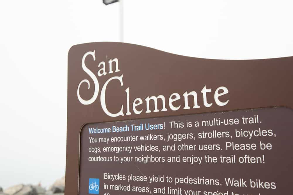
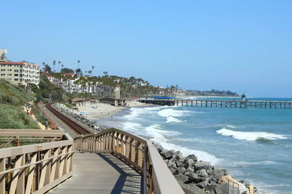
San Clemente Beach Trail
- Length: 2.3 miles
- Difficulty: Easy
This is one of the most popular hiking trails, and when you take into account how hot the inland trails can get in summer, it’s understandable. Popular with both residents and tourists, it’s a great hike for all levels.
The trail is mainly flat and follows the coastline, offering up close and personal ocean views practically all the way.
You can reach the coastal path from any beach access trail, but most people take advantage of the parking available at North Beach and Calafia Beach.
This trail is a great place to take a leisurely walk and takes you past major, iconic San Clemente sites like the pier and T-Street Beach.
Sea Summit Trail
- Length: 4 miles
- Difficulty: Moderate to Difficult
The newest trail on this list, the Sea Summit Trail system is definitely a trail to visit! It’s one of the few paths with great infrastructure such as benches, fences, and stairs.
The gravel trails are easy to traverse, but increase in difficulty to the steep hillside climbs.
You can easily access the trails from Avenida Pico, Vista Hermosa, or Pacific Coast Highway. It couldn’t be easier to park either, as you can use the North Beach or Outlet Shop’s parking lots.
This trail not only has great, accommodating infrastructure, but you can also tailor the hike to your needs by taking different paths and staying on the top levels.
No matter what path you choose to take on the Sea Summit Trails, you’re sure to find incredible views.


[…] but it really has something for everyone. Throughout your trip you will come across rainforest, beaches, dive sites and […]