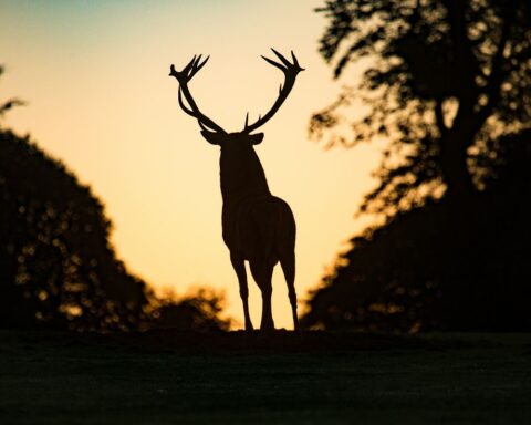
The Isle of Man is a prestigious island country that is considered a top vacation spot for wildlife exploration, with its coastal path offering the best views and the best of nature the island has to offer.
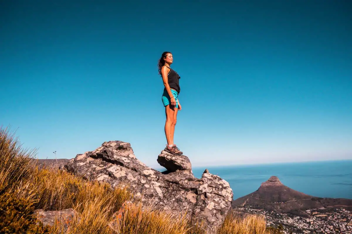
So, if you are planning your next hike to be on the Isle of Man coastal path, then keep reading below for some information on what to expect and an itinerary guide!
Isle Of Man Coastal Path Hike: A Quick Overview
Unspoiled coastal areas, unique species of plants and animals, and a scenery known to the Celtic tribe and the Vikings for over a thousand years are only a few of the things that make this island incomparable to others.

The Isle of Man has 11 mountains that rise above 1,500 feet (450 meters), as well as a well-established coastal path, the Raad Ny Foillan, that circles the island for 100 miles (160 kilometers).
This coastal path pretty much entirely follows the shoreline, but it also passes through a wide range of Manx terrain, including shingle seashores at the Ayres, over 600-foot hilly terrains, mountainsides above the Sloc, as well as the coastal sward at Scarlett.
How Many Days Does It Take To Hike The Isle Of Man Coastal Path?
While you can complete your hiking trip in 4 days if you are a seasoned hiker or runner, this hike is one that has lots of things to discover, so we recommend you spend anything from 8-12 days on your trip.
Below we have a 12-day itinerary where we’ve split the Raad Ny Foillan into 12 stages you can complete every day to make the most out of the path!
Isle Of Man Coastal Path Itinerary- Stages
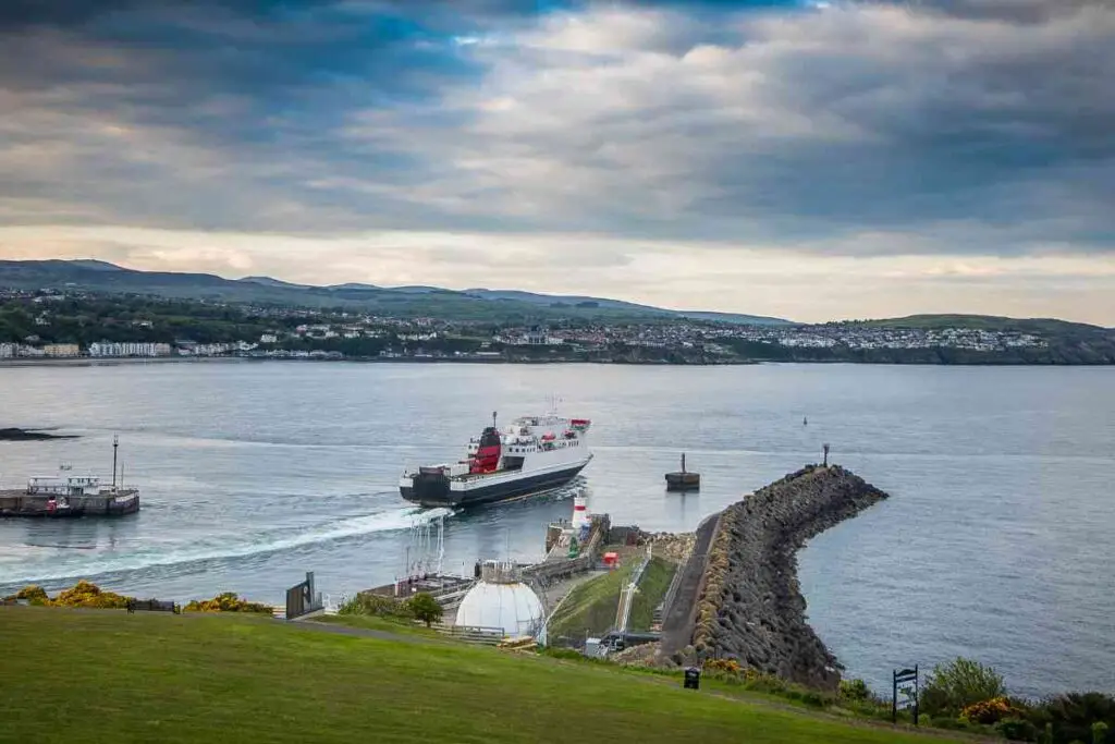
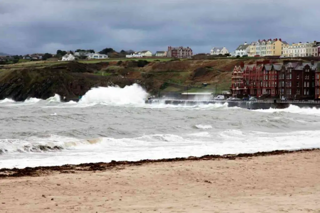
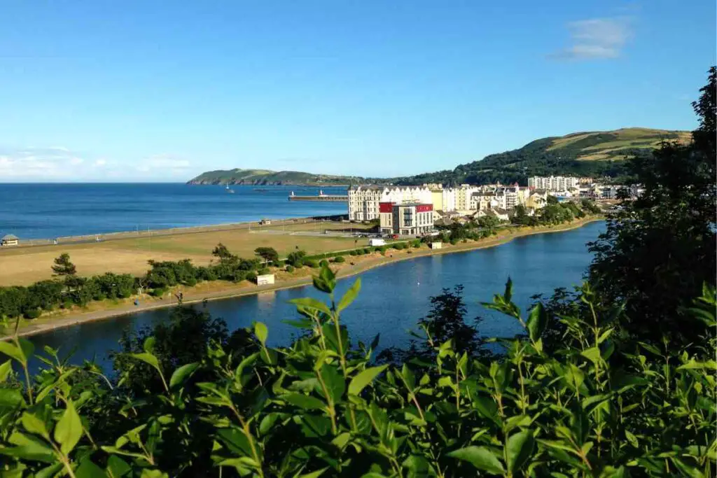
1. Douglas – Derbyhaven
The trail ascends Douglas Head from the port area, allowing you to gaze at the beautiful scenery across Douglas Bay to Onchan Head.
What follows is a mix of hillside and seaside hiking on walking paths and roadways. From the old coast road, you will head to Marine Drive and Keristal, which provides a spectacular view down the cliff edges and over the coastline.
This stage consists mostly of undulations and steep terrain, in addition to a few stretches with dense bushes, but it is relatively easy if you have been hiking before.
Port Soderick, Port Grenaugh, but also Port Soldrick, together with fields and around the promontories, are a special treat because each section of the coast offers a different perspective.
The forts at Cronk Ny Merriu and Cass Ny Hawin are other sights to admire before you reach the Santon Gorge and then your final destination for the day: Derbyhaven.
Distance: 20.5 kilometers
2. Derbyhaven – Port St Mary
Mostly flat, this stage’s trail follows the shoreline along this stretch, providing views of mountainous, rock formations and broad, secluded bays.
With a great biodiversity to explore along the way, this path will take you around Derbyhaven bay to the Langness peninsula, with the St Michael’s Isle offering the chance to catch a seal swimming in the waters there.
Back in Langness, head to the lighthouse and keep walking towards the coastline path to discover the history of the place before you head to Castletown, the old capital of the Isle of Man.
Castle Rushen and the Nautical Museum are only two landmarks of the many awaiting there, so allow yourself some time to explore the place before you head to Port St Mary.
Distance: 19.5 kilometers
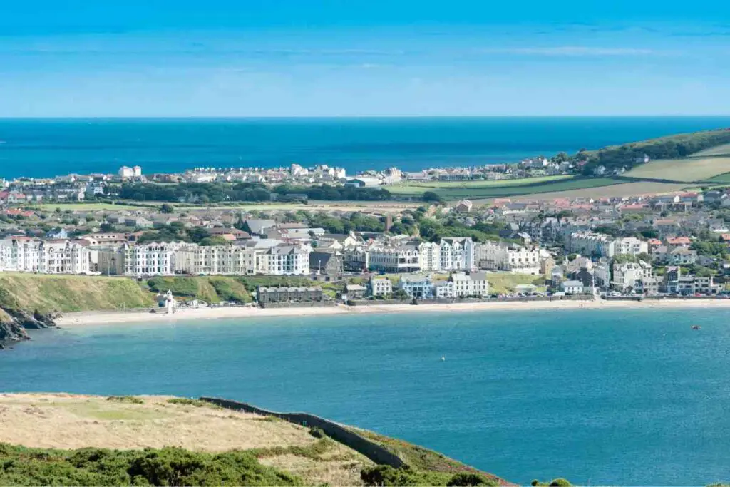
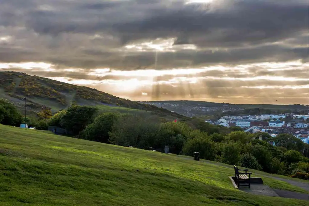
3. Port St Mary – Port Erin
From Port St Mary head to Kallow Point from the inner harbor and then follow the gradual ascending road to Perwick Bay through the open countryside.
This stage is relatively short, allowing you to walk slowly and more carefully on the rock splits throughout the way.
Make sure to stop and check out Sugarloaf, an egg-laying spot for unique creatures, at Chasms if you are good with heights.
Passing from Bay Stacka, Black Head, and Spanish Head, you can then keep walking on the southern coast and stop at the Calf of Man before you descend the path and read Buroo Ned and the Sound.
Dolphins and porpoises usually hang out there, so you might want to take out your camera!
Finish the day at Port Erin and get some rest as the next day is full of adventure.
Distance: 11 kilometers
4. Port Erin – Niarbyl
This section of the hike takes you all along the western coast, through some spectacular moorland terrain. From Port Erin, you will head to Bradda Glen and Bradda Head where you can find Milner’s Tower, another one of the country’s landmarks.
You can then walk up the hill to Lhiattee Ny Beinnee before you reach the northeastern South Barrule, the highest peak of the island’s southern area.
Cronk Ny Arrey Laa is your last short break for some water before you reach Niarbyl’s wonderful harbor with stunning views down the coastline back to Bradda Head and the Calf of Man.
Distance: 15 kilometers
5. Niarbyl – Peel
From Niarbyl, you will head down a footpath that will take you back to the coastline trail all the way to Glen Maye.
A stop at its lovely waterfall for some pictures and then you are back on the trail to Peel. This part of the path is a rippling hillside walk near the coast, with the biggest reward waiting at Peel where you can spend time exploring a series of sights like the Peel Castle and the Cathedral as well as The Leece Museum, among others.
Distance: 10 kilometers
6. Peel – Kirk Michael
From the shore’s hilly path, you can continue your hiking trip and head to Kirk Michael, with short stops at the Glen Mooar, Port Mooar, and Glen Wyllin.
This stage is spent walking a little bit away from the coast, but the inland nature and biodiversity are equally rewarding.
Once you’ve reached Kirk Michael village, you can visit the church there and chat with the friendly locals.
Distance: 11.5 kilometers
7. Kirk Michael – Jurby
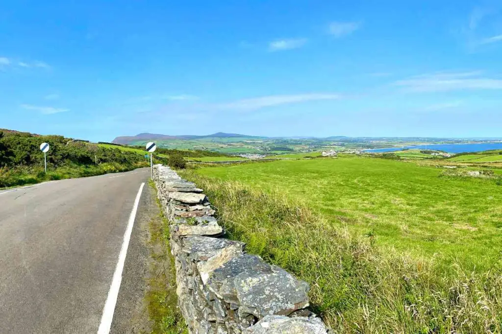
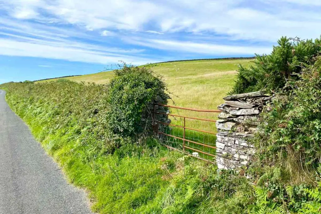
Continue north to Rhencullen where the path then winds through open fields and country roads to Glen Trunk and the coastline.
The remaining part of this stage is spent on sand and shingle, keep an eye out for stream crossing points, especially when there is a high tide.
Leaving the shoreline at Sartfield, you can get to Jurby, where you can see St. Patrick’s Church, the Motor Museum as well as the Jurby Transport Museum.
Distance: 11 kilometers
8. Jurby – Point of Ayre
From Jurby, you almost entirely follow the shoreline but be careful of the tides when you cross the Lhen Trench.
The walk might seem moderate if you are not trained at walking in the sand, but on a bright sunny day, it is the best hike ever.
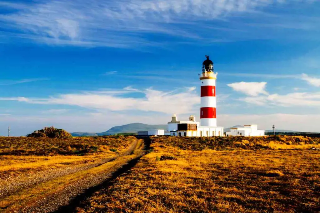
The Point of Ayre lighthouse, located at the northern edge of the Isle of Man, is a heritage site that will also mark the end of your hike for the day.
Distance: 13.5 kilometers
9. Point of Ayre – Ramsey
A much shorter walk on the sandy shores of Isle of Man, this stage from Point of Ayre to Ramsey might be more fun than expected as you could well be accompanied by seals and birds along the walk.
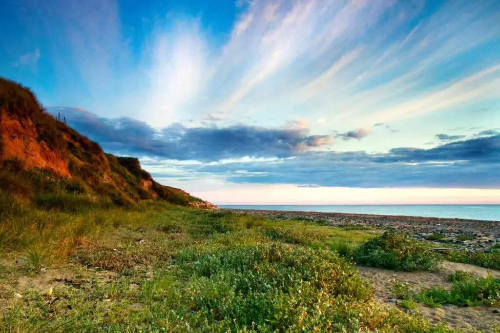
Stop to admire the sand cliffs of Bride and Shellag Point, but don’t get too close as they face active erosion.
Be more attentive to the rocks under your feet as you will find some great pieces of Scottish and Irish rocks that the waters brought all the way from those areas’ glaciers!
When in Ramsey, head to Mooragh Park, the harbor, and the lovely town.
Distance: 9 kilometers
10. Ramsey – Maughold
Once you have reached past Ballure from the southern trail, this stage’s remaining hike takes you on a walk parallel to the roadway to Maughold.
The coastal path passes from Port-e-Vullen and features some of the most amazing walking paths of the entire hike.
Maughold Brooghs, Maughold Head, and the village itself are then your final destination before the penultimate stage to Laxey.
Distance: 7 kilometers
11. Maughold – Laxey
This penultimate day will have you walking twice the distance of the previous day.
Starting from Maughold, you will head to the coastal path to Port Mooar and from there you will ascend inland to Ballafayle, where you can find the Neolithic Burial Cairn, but also the Quaker Burial Ground.
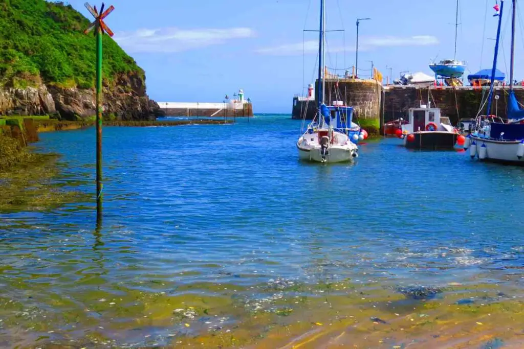
Descending all the way to Snaefell and then passing from Cornaa valley and the area’s port will get you closer to Dhoon Glen, where you will need to follow another uphill path to the Ballaragh Road that will eventually get you to Laxey and its tiny fishing port.
Distance: 14 kilometers
12. Laxey – Douglas
Start your walk on Laxey Promenade by continuing to follow the Raad Ny Foillan signposts, which will lead you sharply up the trail to the narrow road connecting to the main roadway south.
As you approach Baldrine, the path descends to the coastline at the secluded cove of Garwick Bay, with the path then passing through Baldrine and the Ballanette Reserve, known for its exquisite biodiversity.
After stopping at St. Adamnan’s chapel, you can descend the trail and head to Groudle Glen before passing by the newer houses on Onchan Head and reaching Port Jack.
From there, it’s an easy walk to Douglas harbor from the Douglas promenade where you can finish your hiking trip on the Isle of Man coastal path.
Distance: 15 kilometers
The Bottom Line
The Isle of Man coastal path offers one of the best hiking experiences, so if you are thinking about where to hike next, this is the place to go!